UN
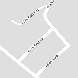
4 Allen Bank
£ 186,000
Description
We don't have a Description for this property.
- Bedrooms
- 3
- Bathrooms
- 0


Leaflet © OpenStreetMap contributors
The heatmap indicates the level of crime in the area. The color of the heatmap indicates the crime severity and recency.
Metrics Year-on-Year
- Average area value
- 276,950.00 £Increased by 0.29 %
- Average area rental value
- 598.00 £/moIncreased by 11.78 %
- Est rental Yield
- 2.59 %Increased by 11.64 %
- Crime Rate
- 3.00 %Unchanged by 0.00 %
from 276,144.00 £
from 535.00 £/mo
from 2.32 %
from 3.00 %
Nearby Schools
| Name | Type | Ofsted | Distance |
|---|---|---|---|
| The Park Community School | Academy Converter | 0.24 KM | |
| Newport Community School Primary Academy | Academy Converter | Outstanding | 0.81 KM |
| Ashleigh Cofe Primary School | Academy Converter | 0.86 KM | |
| Our Lady'S Catholic Primary School, Barnstaple | Academy Converter | Good | 1.01 KM |
| The Lampard Community School | Foundation Special School | Good | 1.12 KM |
Images
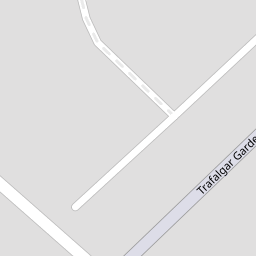
Nearby Streets
| Name | Average Price | Average Sqft | Distance |
|---|---|---|---|
| Trafalgar Gardens | £ 265,000 | 0 | 0.00 KM |
| Eddy's Lane | £ 0 | 0 | 0.00 KM |
| Jingles Lane | £ 150,000 | 0 | 0.00 KM |
| Barbican Lane | £ 740,000 | 0 | 0.00 KM |
| Burlington Close | £ 0 | 0 | 0.00 KM |
Nearby Transport
| Name | NLC | TLC | Distance |
|---|---|---|---|
| Barnstaple | 5725 | BNP | 1.45 KM |
| Chapelton (Devon) | 5820 | CPN | 6.75 KM |
Nearby Listings
| Address | Price | Type | Score | Distance |
|---|---|---|---|---|
| Allen Bank, Barnstaple | £ 350,000 | BUY | 6 / 10 | 0.01 KM |
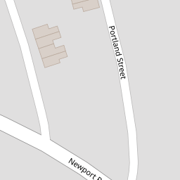
| Barum Lodge, Portland Street, Barnstaple, Devon, EX32 | £ 190,000 | BUY | 6 / 10 | 0.03 KM |
| Park Lane, Barnstaple | £ 800,000 | BUY | Unknown | 0.08 KM |
| Barnstaple, Devon | £ 280,000 | BUY | 6 / 10 | 0.11 KM |
| Barnstaple, Devon | £ 450,000 | BUY | 6 / 10 | 0.13 KM |
Nearby Properties
| Address | Price | Distance |
|---|---|---|
| 4 Allen Bank | £ 186,000 | 0.00 KM |
| 2 Allen Bank | £ 180,000 | 0.00 KM |
| Thistle Dhu | £ 290,000 | 0.00 KM |
| 6 Rock Avenue | £ 255,000 | 0.06 KM |
| 10 Rock Avenue | £ 245,500 | 0.06 KM |